

Collection: Osher Map Library Collection
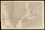
Name: Street Map of New York below Sixteenth Street, with view of part of Brooklyn.
Barcode:
Image Number:
Date/Date Range Produced:
Date/Date Range Published:
Language:
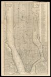
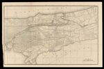
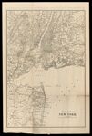
Dimensions: 4 maps each 24 by 36 on sheet 24 by 73 cm
Notes: Titles of 3 other maps on sheet: "City of New York," "Upper Part of New York City," and "Vicinity of New York."
Physical Description: 4 maps on 1 sheet
Accession Number: OML-1910-57
Permanent URL: